
Illustrated Maps
Below is a selection of my custom illustrated maps. A well-crafted illustrated map does more than just guide your visitors, it elevates their entire experience. Serving as both a practical navigational aid and a powerful marketing asset, a custom map delivers exceptional long term value. Long after your initial investment, it can be used across promotions, merchandise, and events to keep your attraction fresh and enticing to new audiences.
I am deeply passionate about creating beautiful, cost-effective maps. If you are looking to bring your attraction or company to life with a custom illustration, I would love to collaborate with you. Please get in touch at erik.roy.jensen@googlemail.com
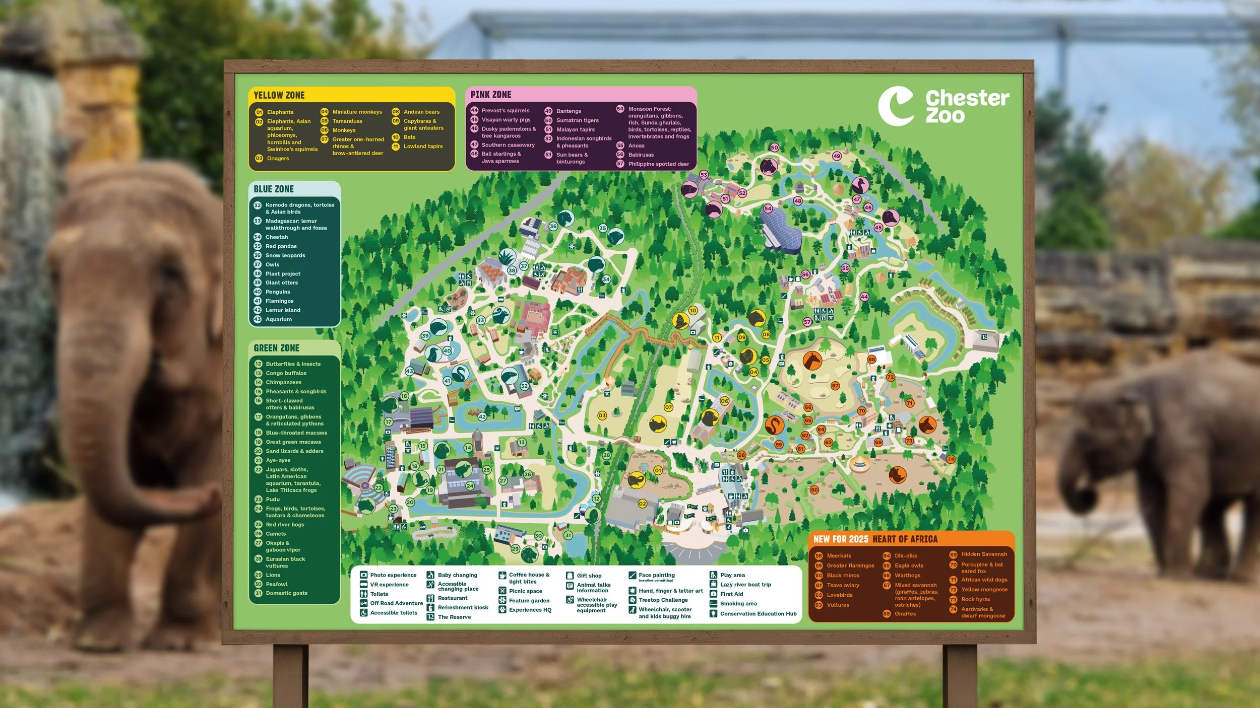
Chester Zoo
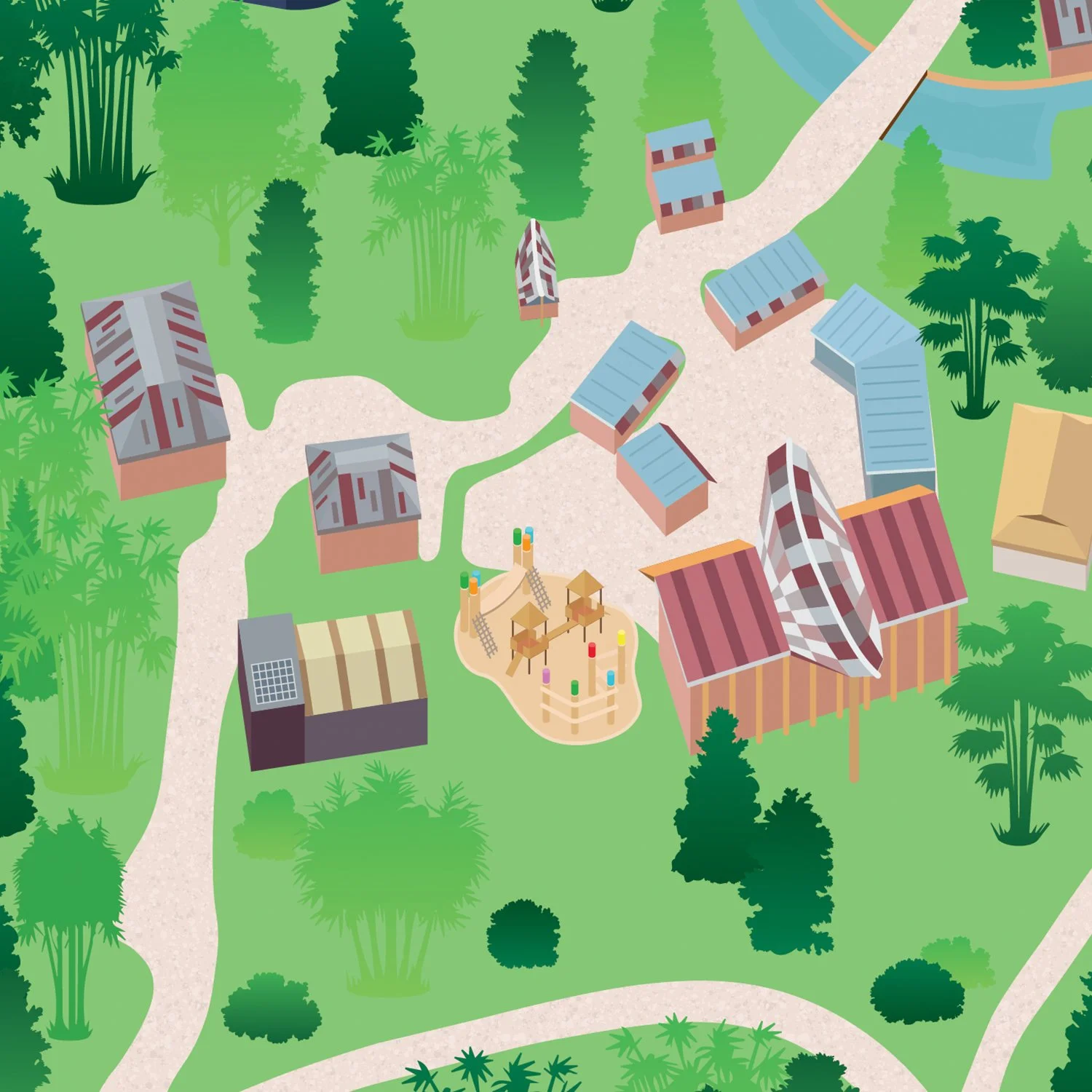
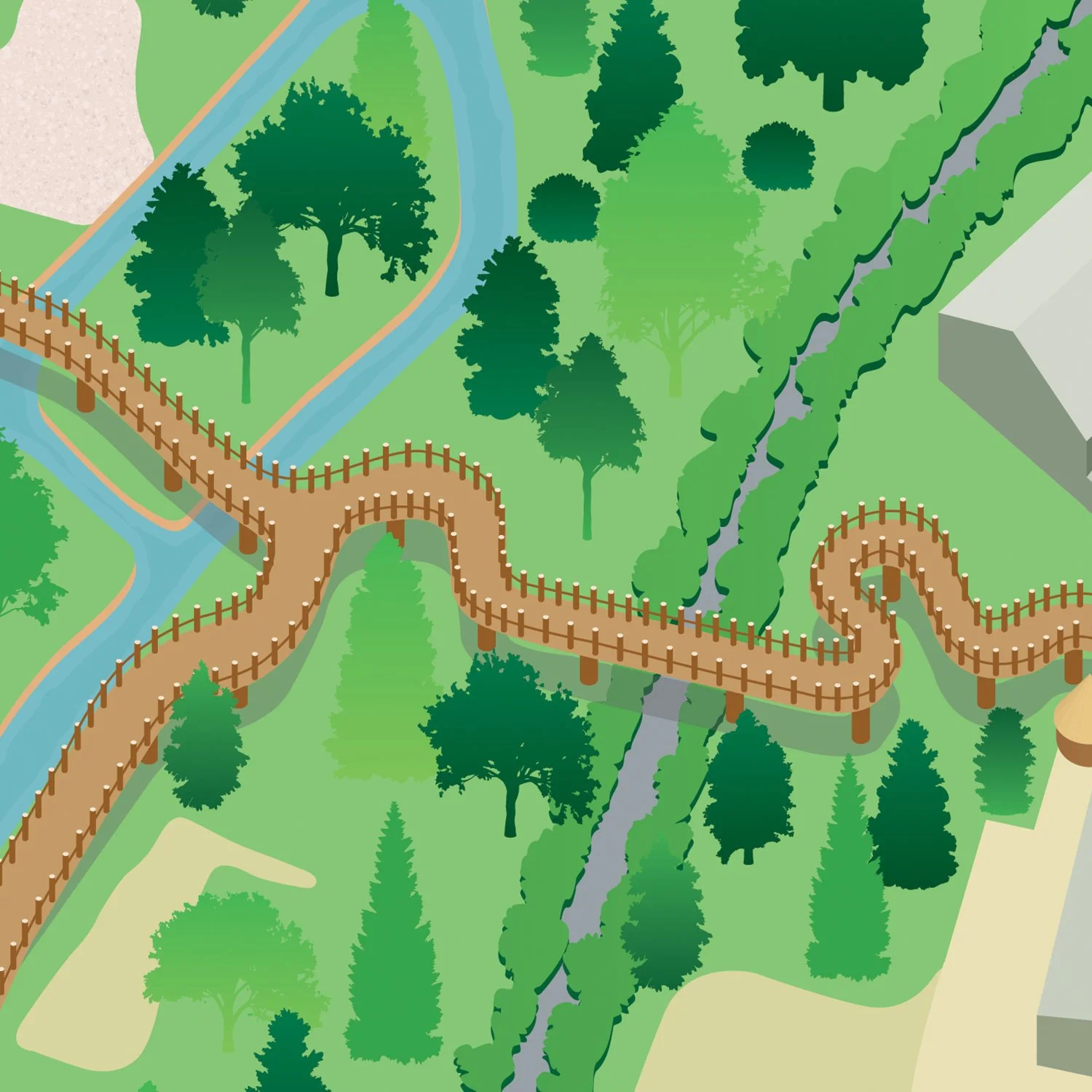
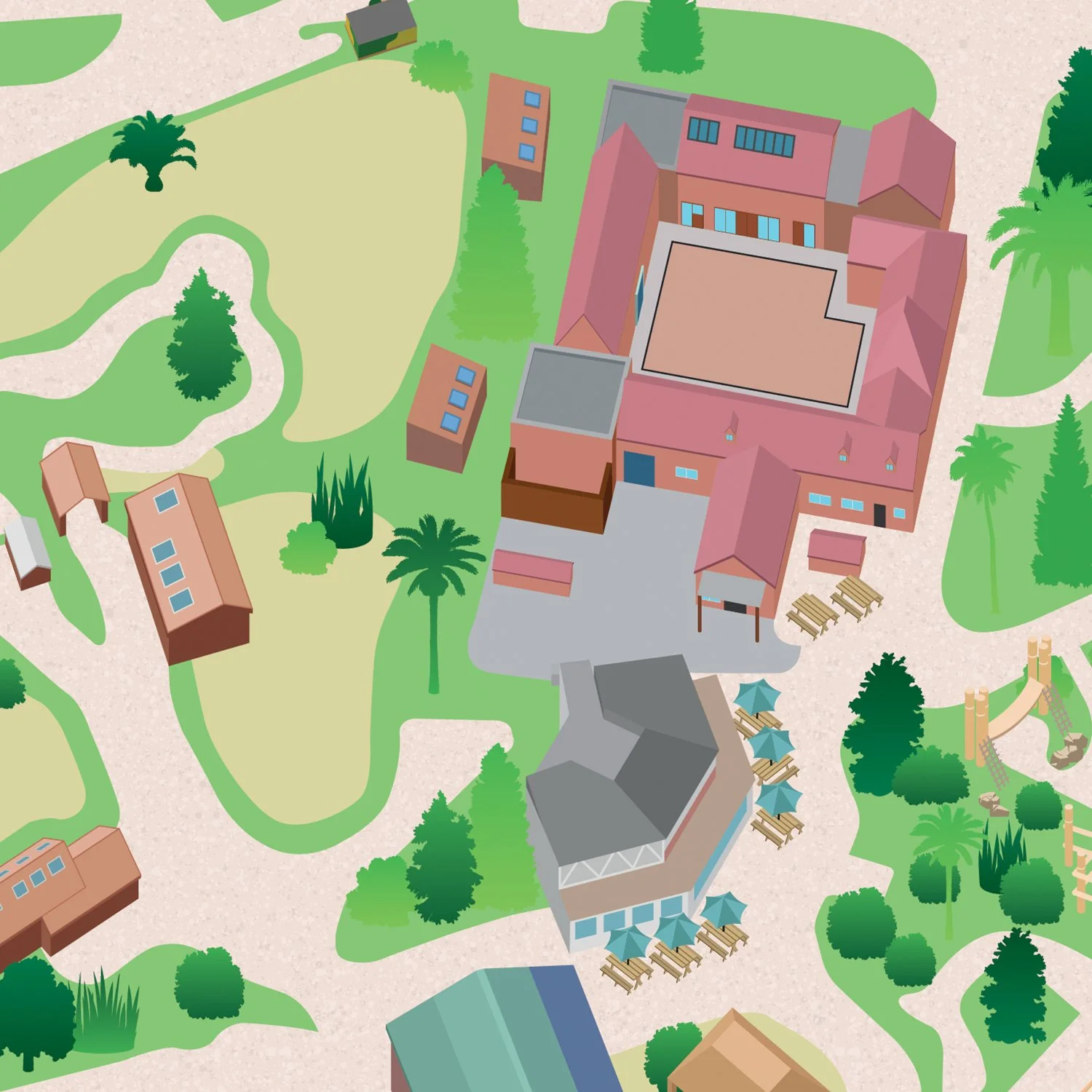
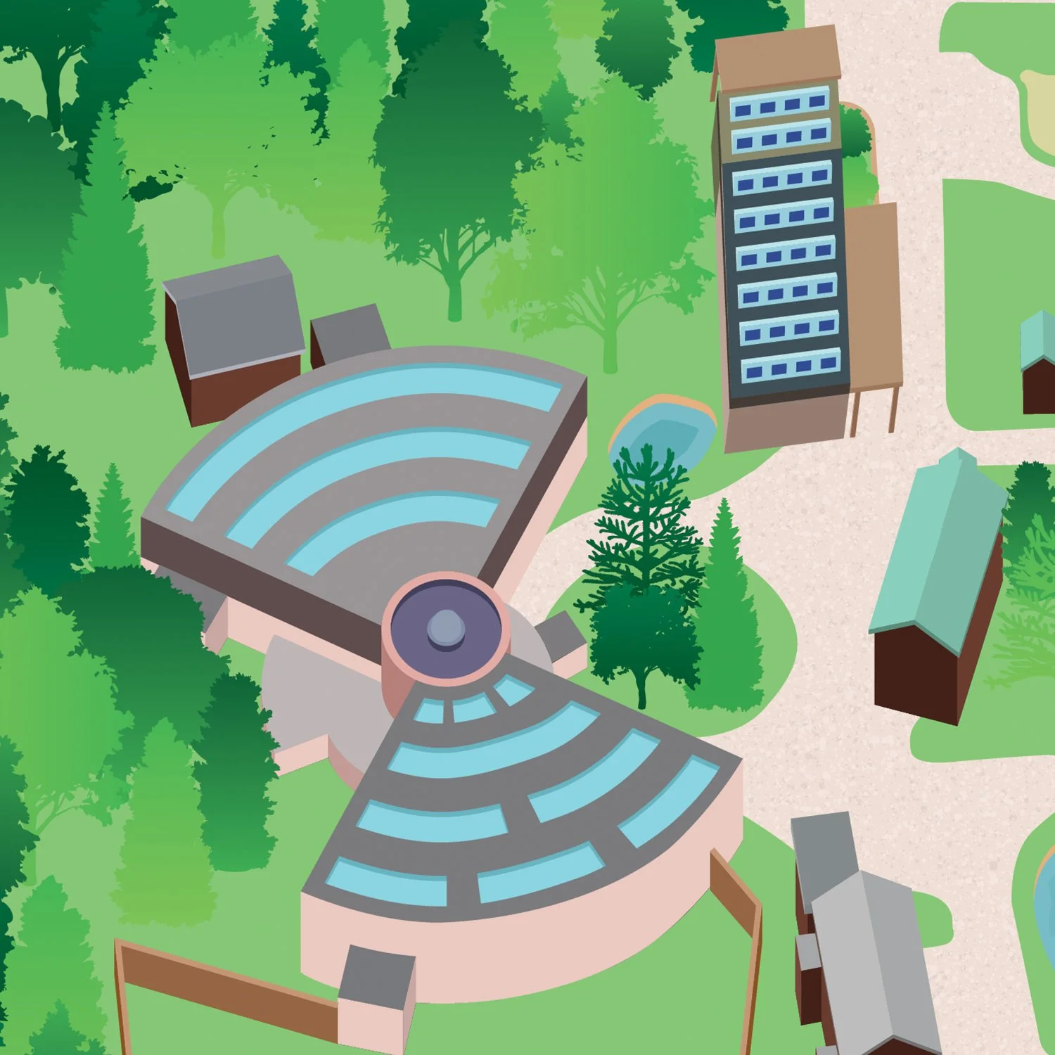
For the 2024 and 2025 seasons, I created a new illustrated map for Chester Zoo, their old map had become outdated and difficult to adapt whenever a new attraction was added.
My chosen style and illustration brought the attraction to life and allowed for the expansion of the new ‘Heart of Africa’, and Reserve Hotel onto the map.
The zoo welcomed more than 2.1 million visitors in 2025, breaking all previous attendance records since opening in 1931.

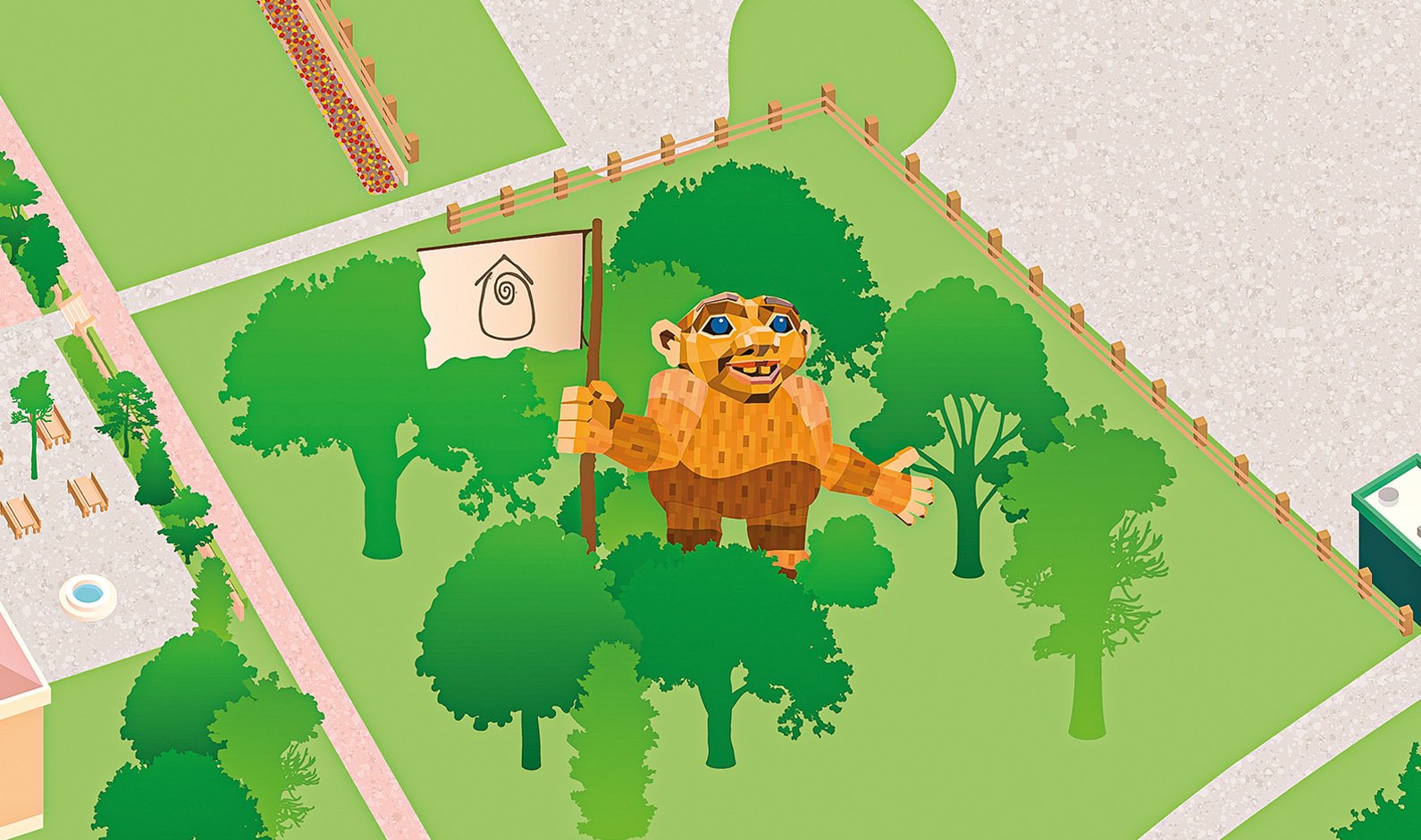
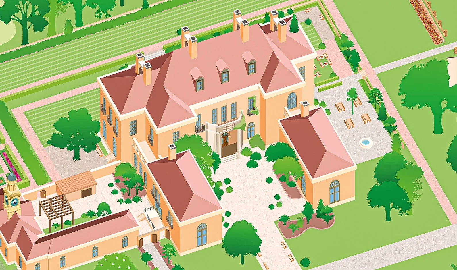
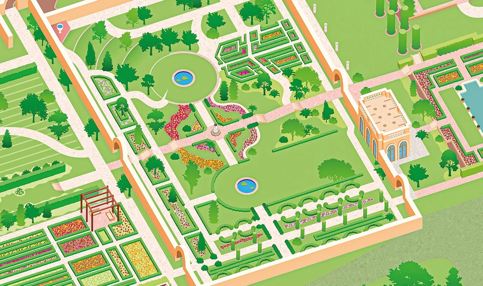
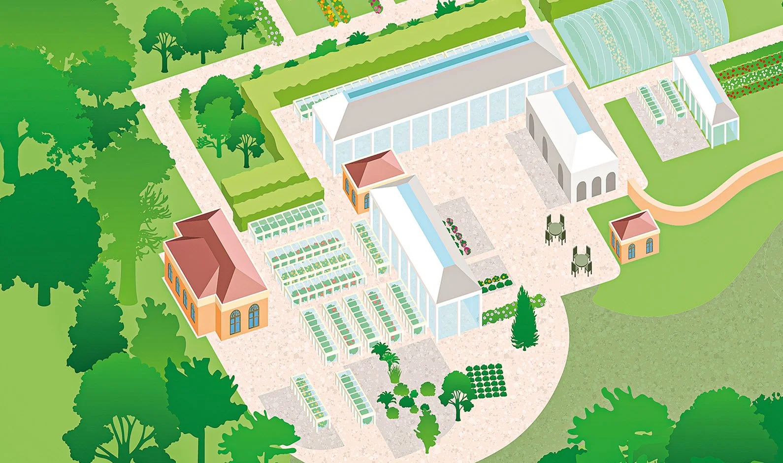
Filoli
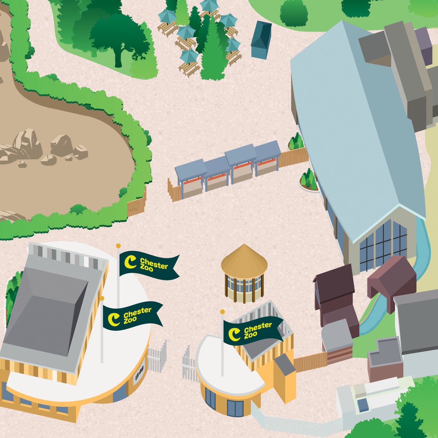
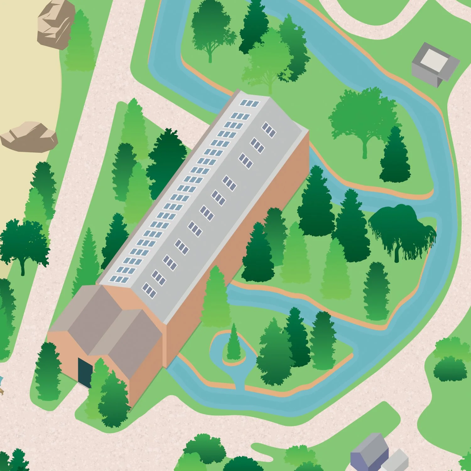
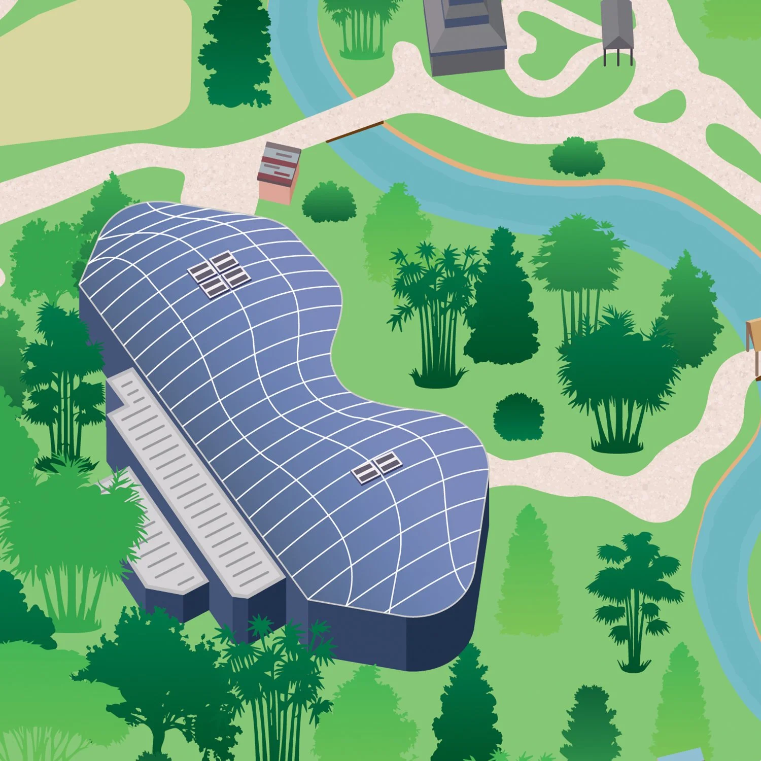
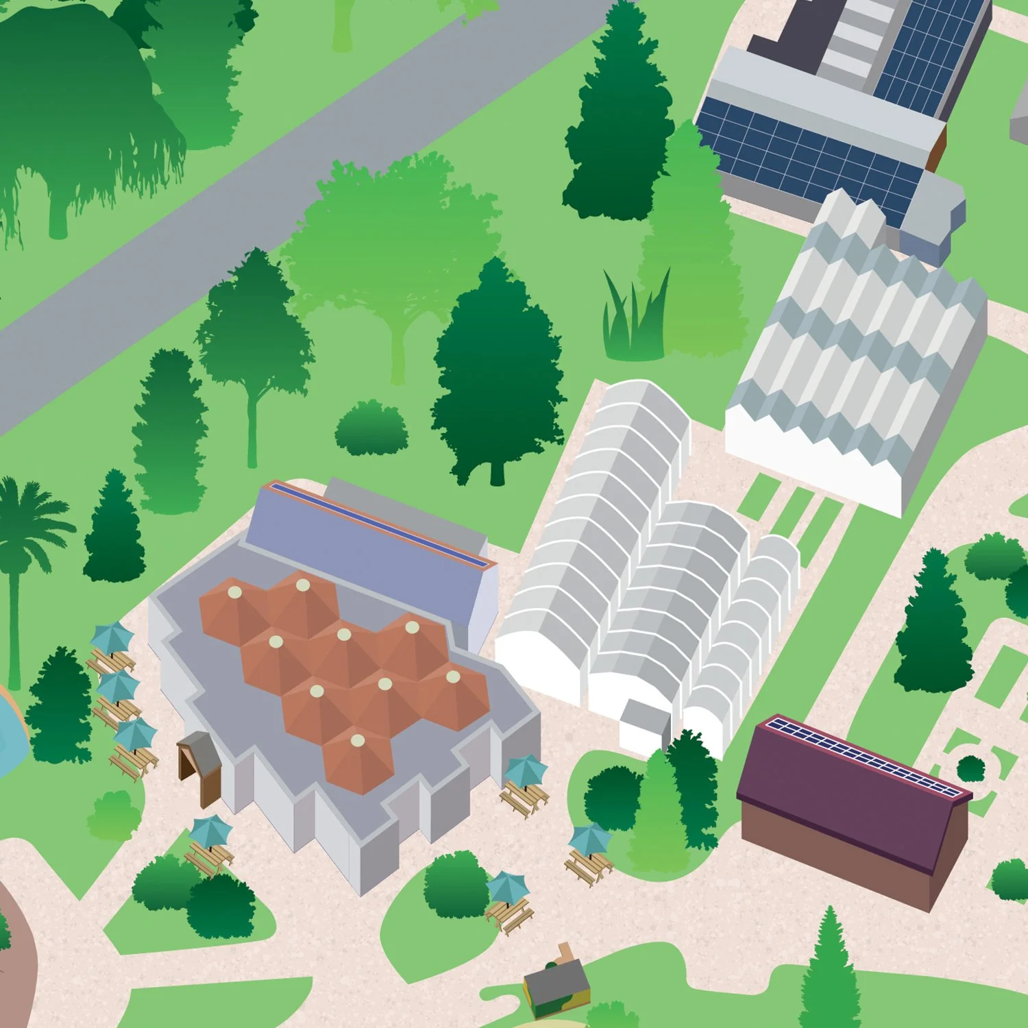
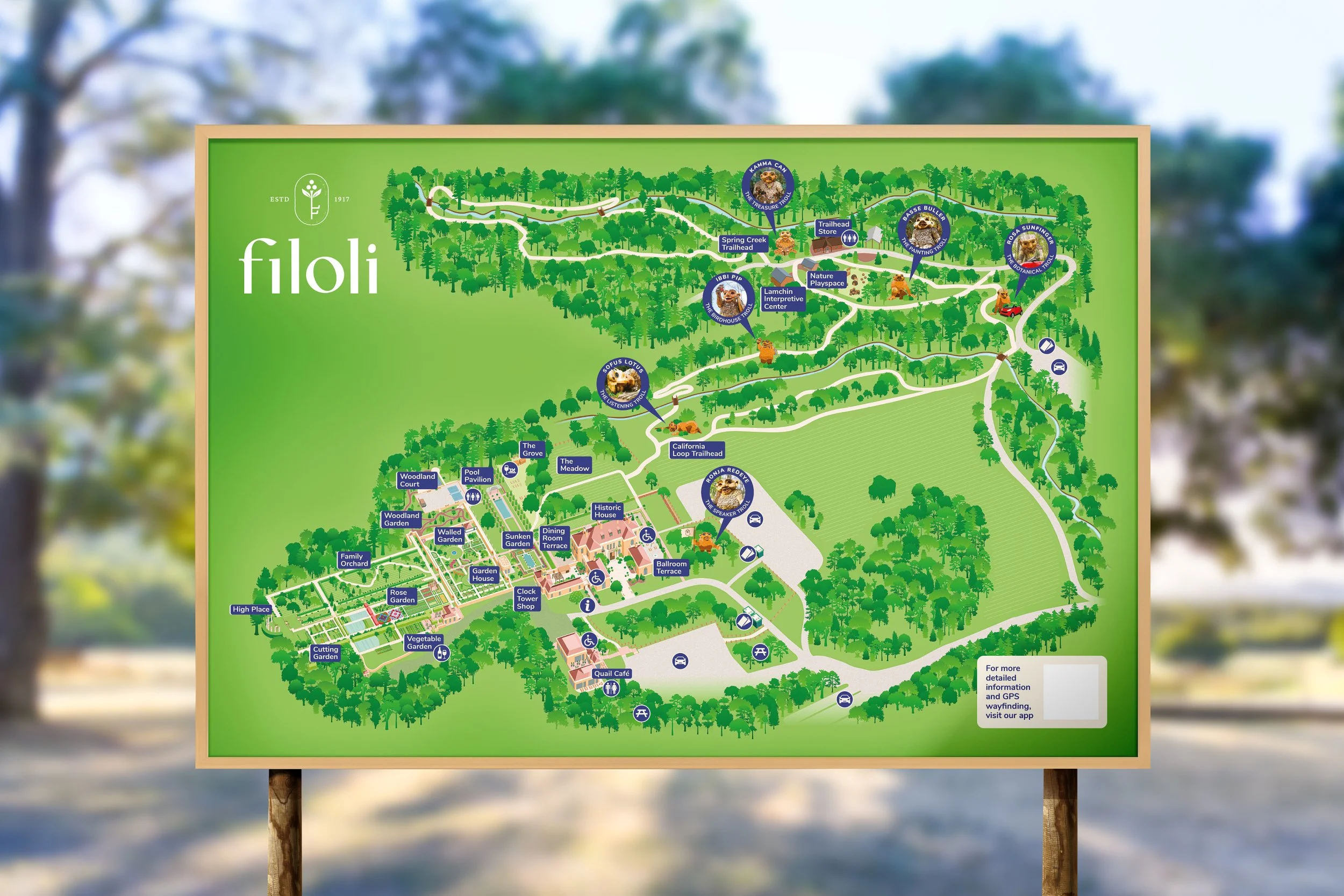
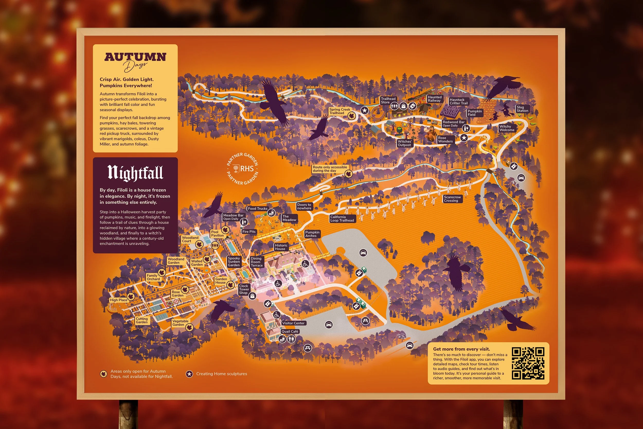
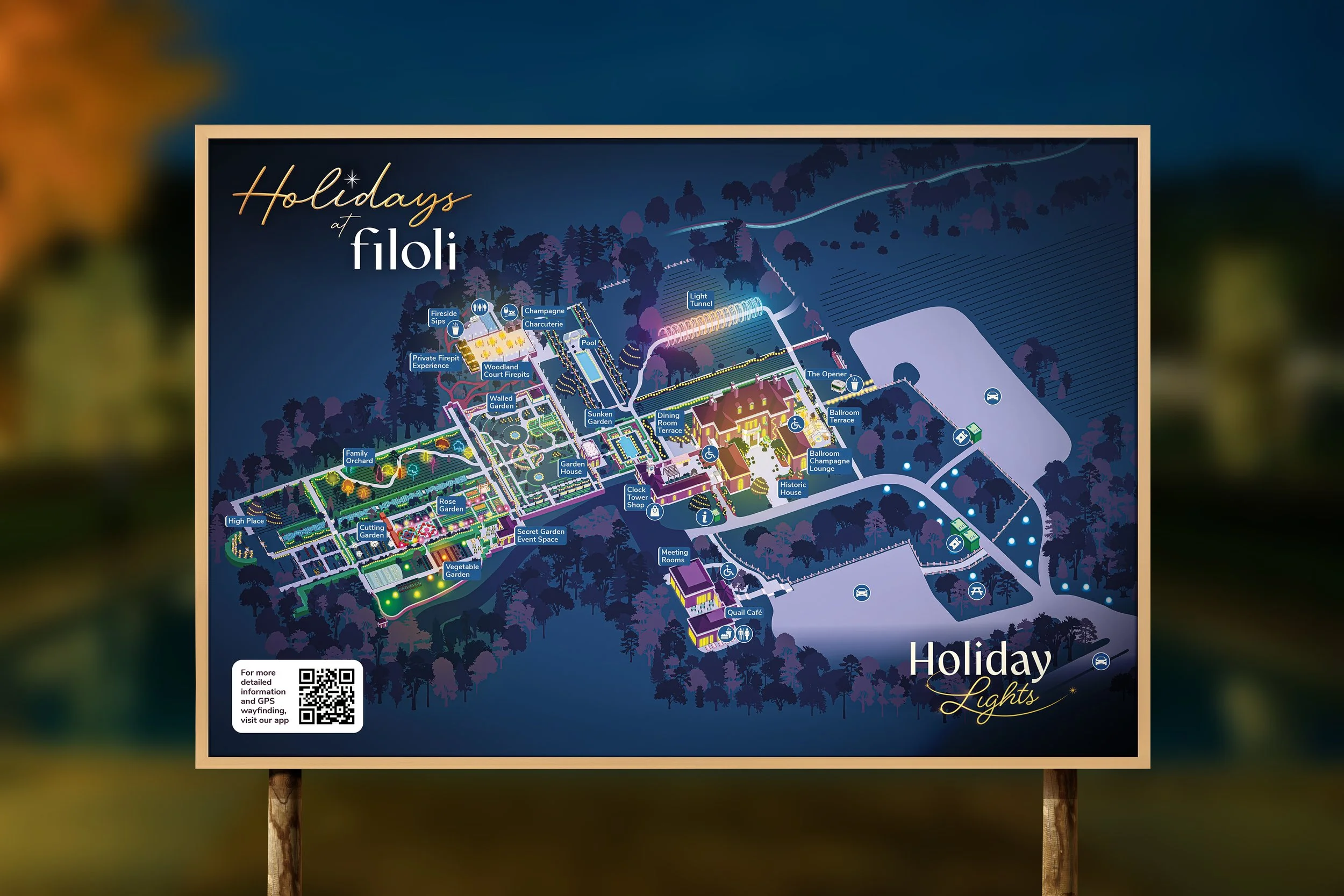
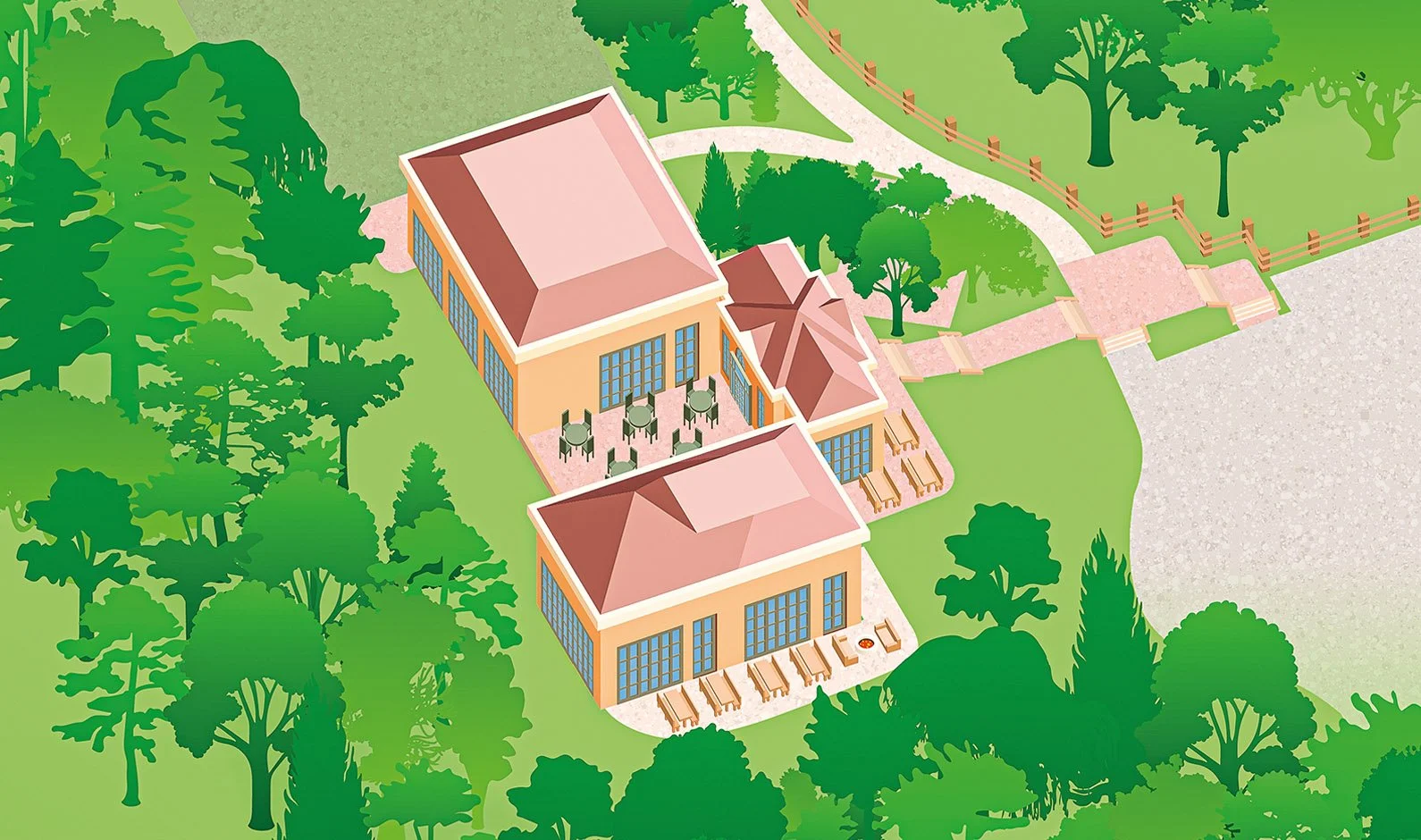
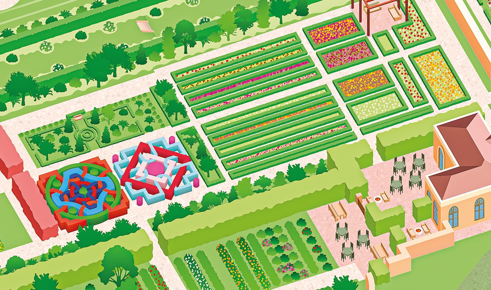
After initial designing a stylised illustration, focused on the Filoli House in 2023, for the following year Filoli required a new illustration, which could focus more on showcasing their entire estate and ground, including the stunning redwood walks.
Part of the brief was also to create a map that could change throughout the year, to showcase seasonal events which were happening. The final result is a map for all seasons, capturing the true beauty of Filoli.
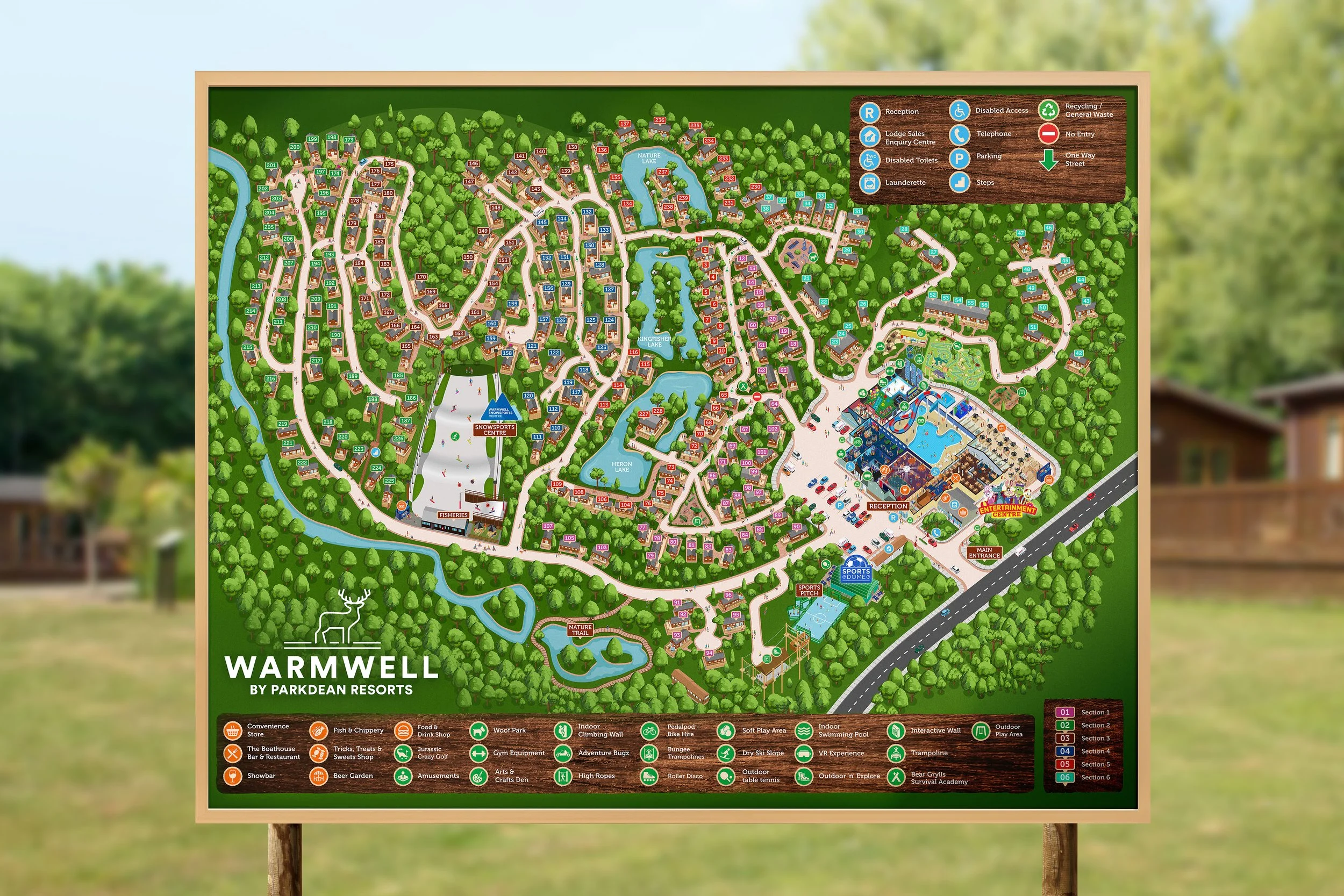
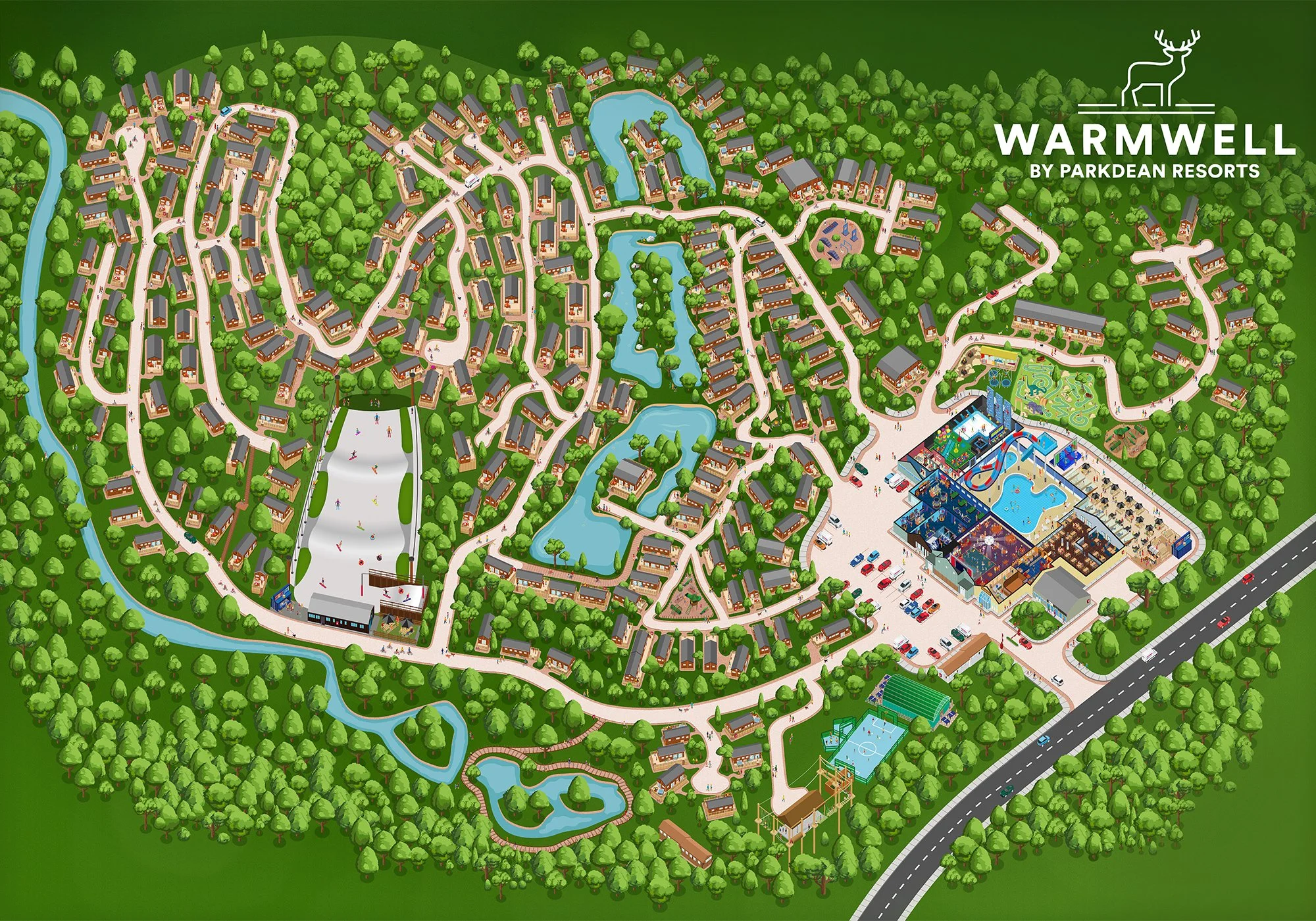
Parkdean Resort Warmwell
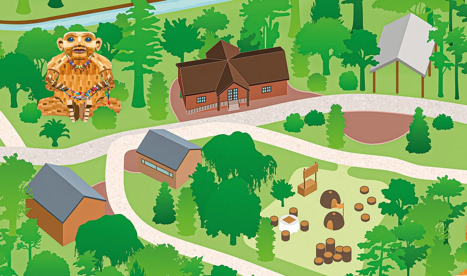
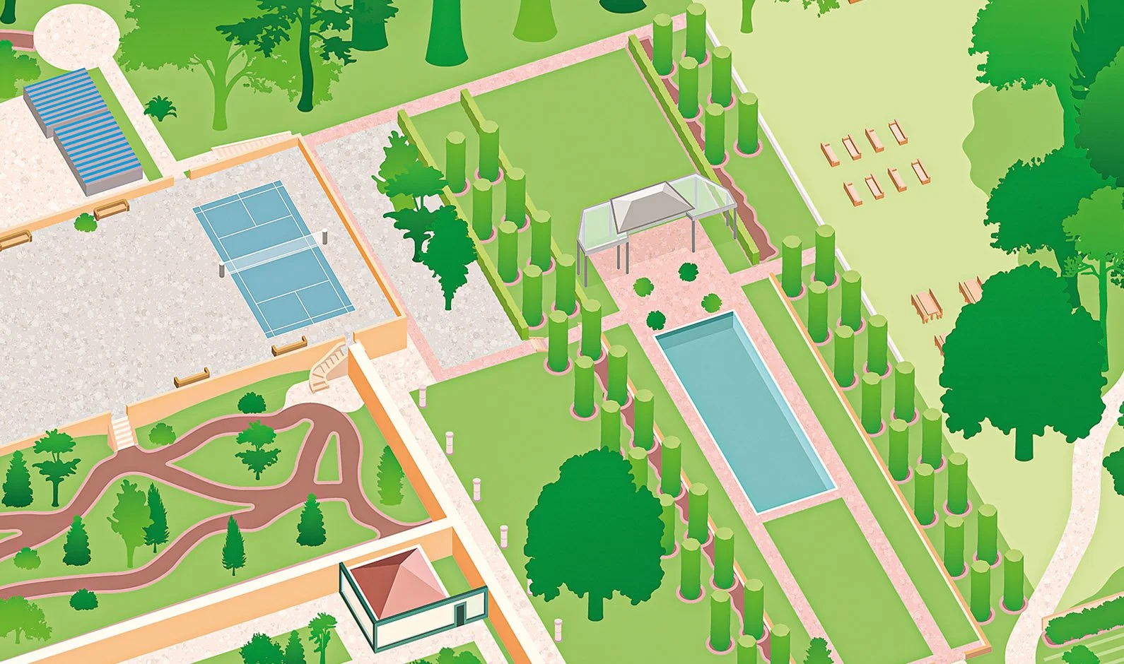
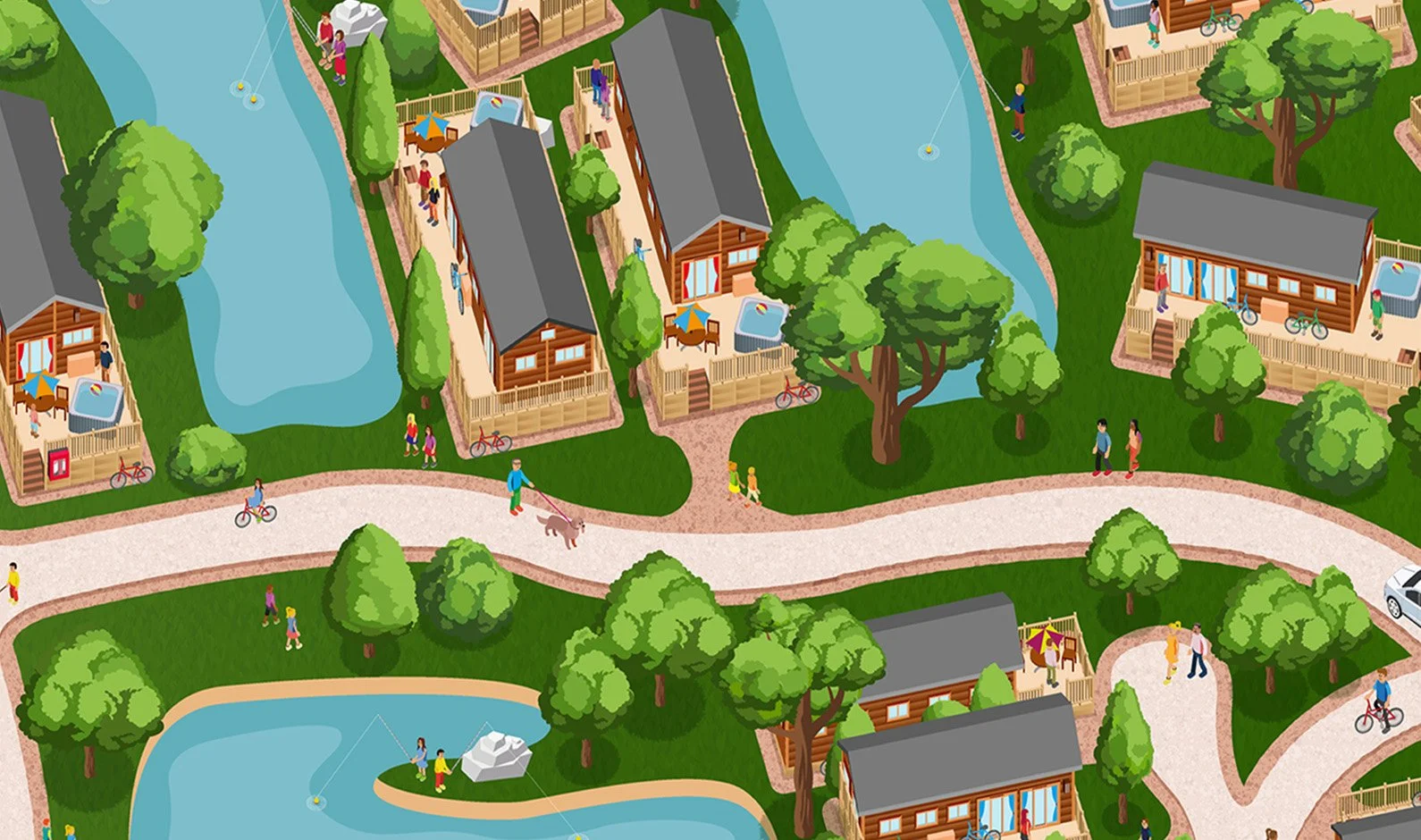
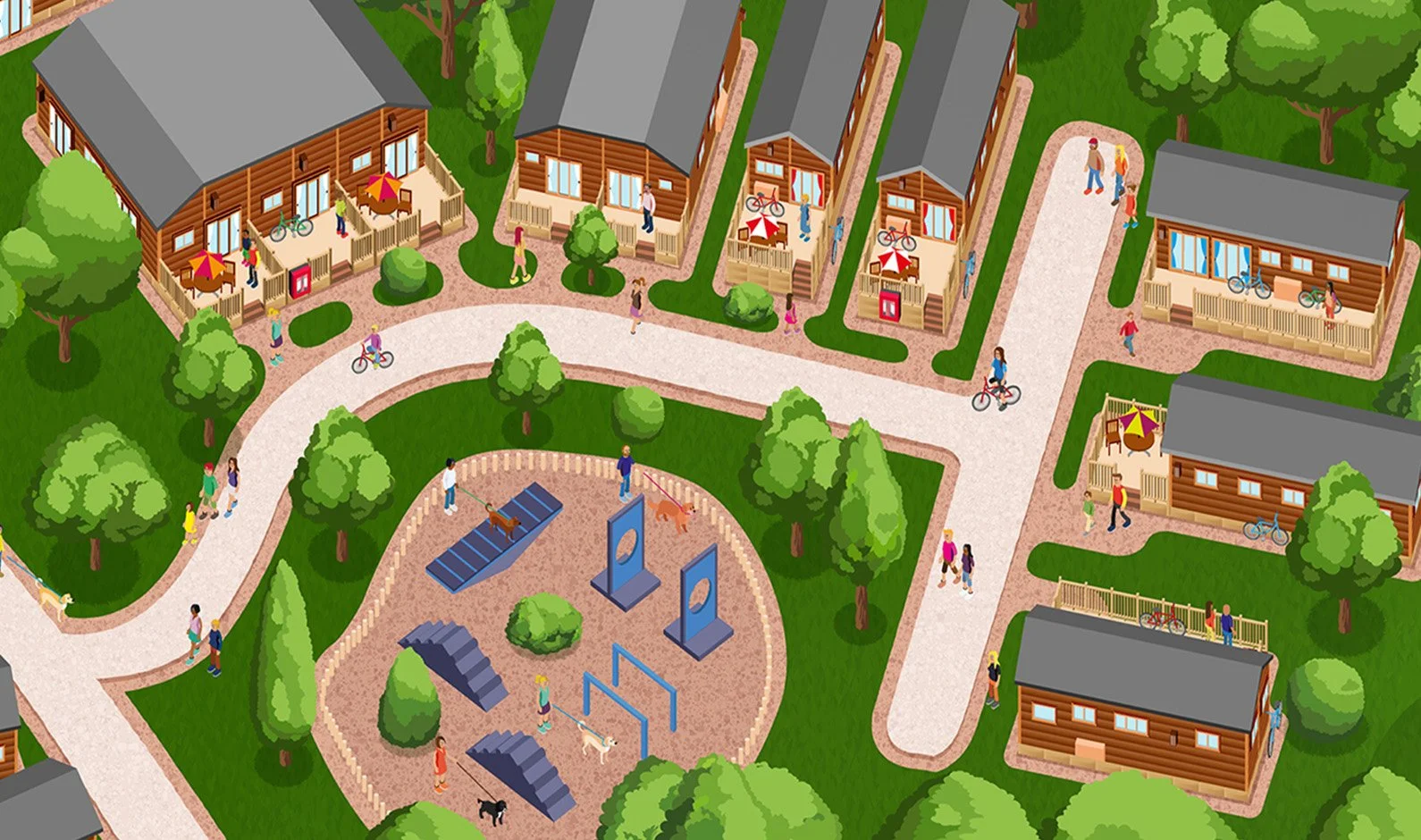
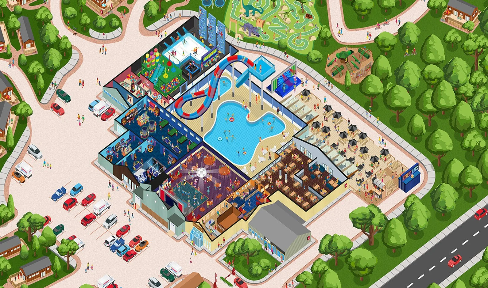
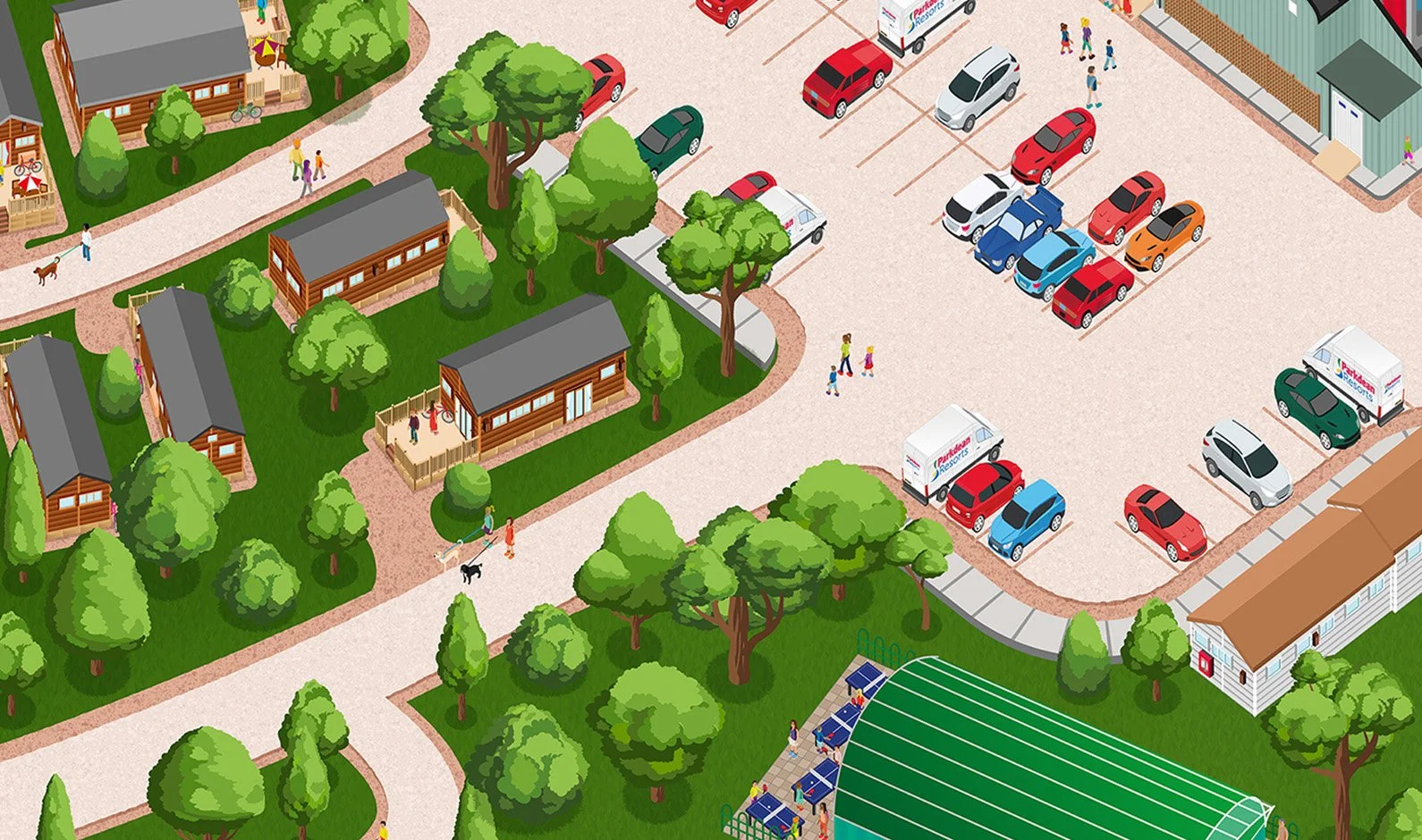
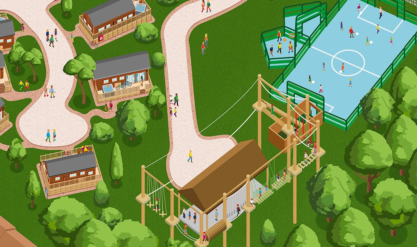
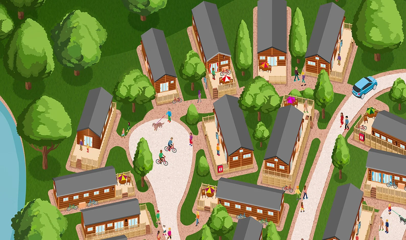
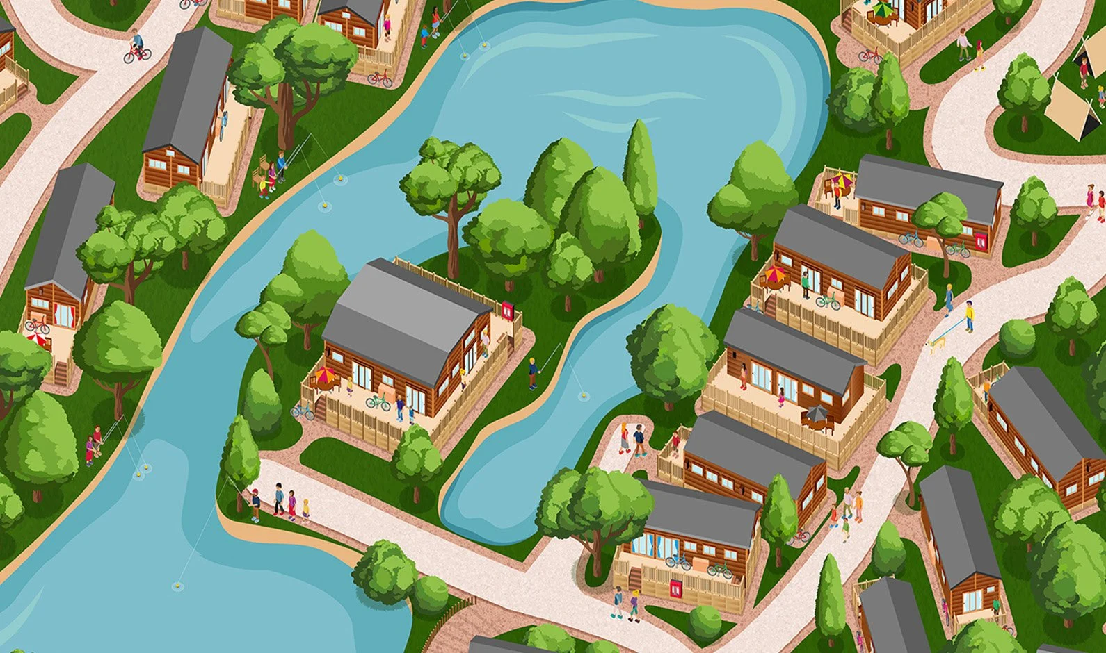
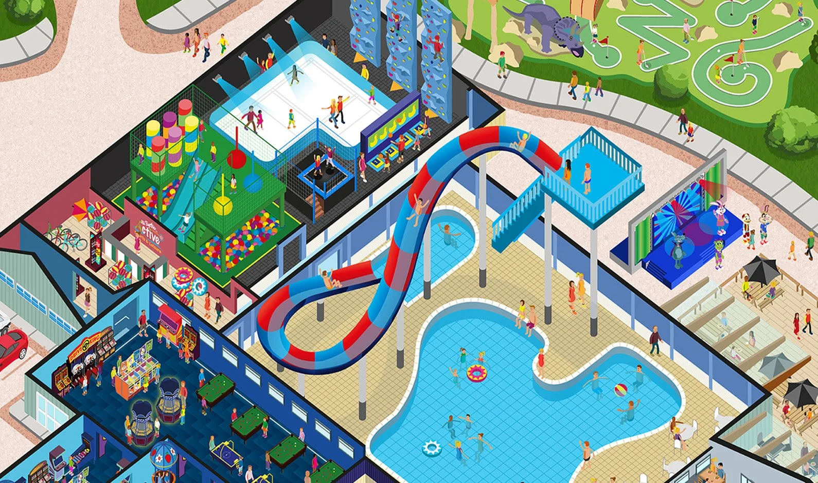
Parkdean Resorts is the largest holiday park operator in the UK. For the 2021 holiday season, Warmwell Parkdean Resort needed a new map to showcase the full range of amenities and attractions within the park. I created an illustrated map that brought the park to life, providing an engaging and clear visual representation of its offerings.
LMC Design Office
LMC Design is a design consultancy in London. I created a fun illustration as a personal project

Chessington Hotel Map
This map was created for the hotel lobby at Chessington World of Adventures theme park. They required a very simple map to give hotel guests a brief insight into the hotel offering. I create a very naive and simplistic style for this map.


Filoli
This original map created by Filoli, used a three point perspective, and focused entirely on the house, and showing the stunning landscape in the distance.

Creating an illustrated map for your attraction FAQ’s
-
A custom illustrated attraction map typically takes between 4 to 8 weeks to complete from the initial brief to final delivery. The exact timeline depends on the physical size of the area being mapped, the number of specific landmarks required, and the client approval process. The project is broken down into clear stages: initial consultation, rough layout sketches, multiple stages showing the progress of the map, and final full-color rendering.
-
The cost of a custom illustrated map is determined by the project's scope and the level of detail required. Factors that influence the final quote include the number of individual buildings to be drawn, the complexity of the topography, and whether the map needs further design on my end for local print brochures or large-scale digital and billboard campaigns. I provide custom quotes after reviewing your specific site plan and requirements, and always do my best to work to your budgets and requirements.
-
To begin a custom map illustration, clients need to provide a basic site plan (such as a Google Earth screenshot, drone footage, or an architectural blueprint), a prioritized list of key landmarks, and reference photos of the attractions. Additionally, sharing your brand guidelines and color palette ensures the final artwork aligns perfectly with your destination’s marketing materials.
Maps can be started with limited references, but the more that can be provided the better. -
Illustrated attraction maps use "stylized accuracy" rather than strict geographical scaling. While the pathways, zones, and general spatial relationships remain true to life to ensure visitors can navigate easily, key attractions, facilities, and landmarks are often enlarged or rendered in an isometric (3D) perspective. This balances wayfinding utility with visual appeal and branding.
-
Yes, your custom map can be easily updated in the future as your attraction grows. Because the final artwork is created as a high-resolution, layered digital file, new rides, buildings, or expanded zones can be illustrated and integrated seamlessly into the existing file without needing to redraw the entire map from scratch.
-
Clients receive high-resolution, print-ready files (typically AI, TIFF, PDF, or layered PSD formats) suitable for large-scale park signage and printed visitor guides. You will also receive web-optimized digital formats (JPEG or PNG) that load quickly on your website, ticketing portals, and mobile applications.